Geo-rectification via keypoint matching.
SATELLITE REFERENCE 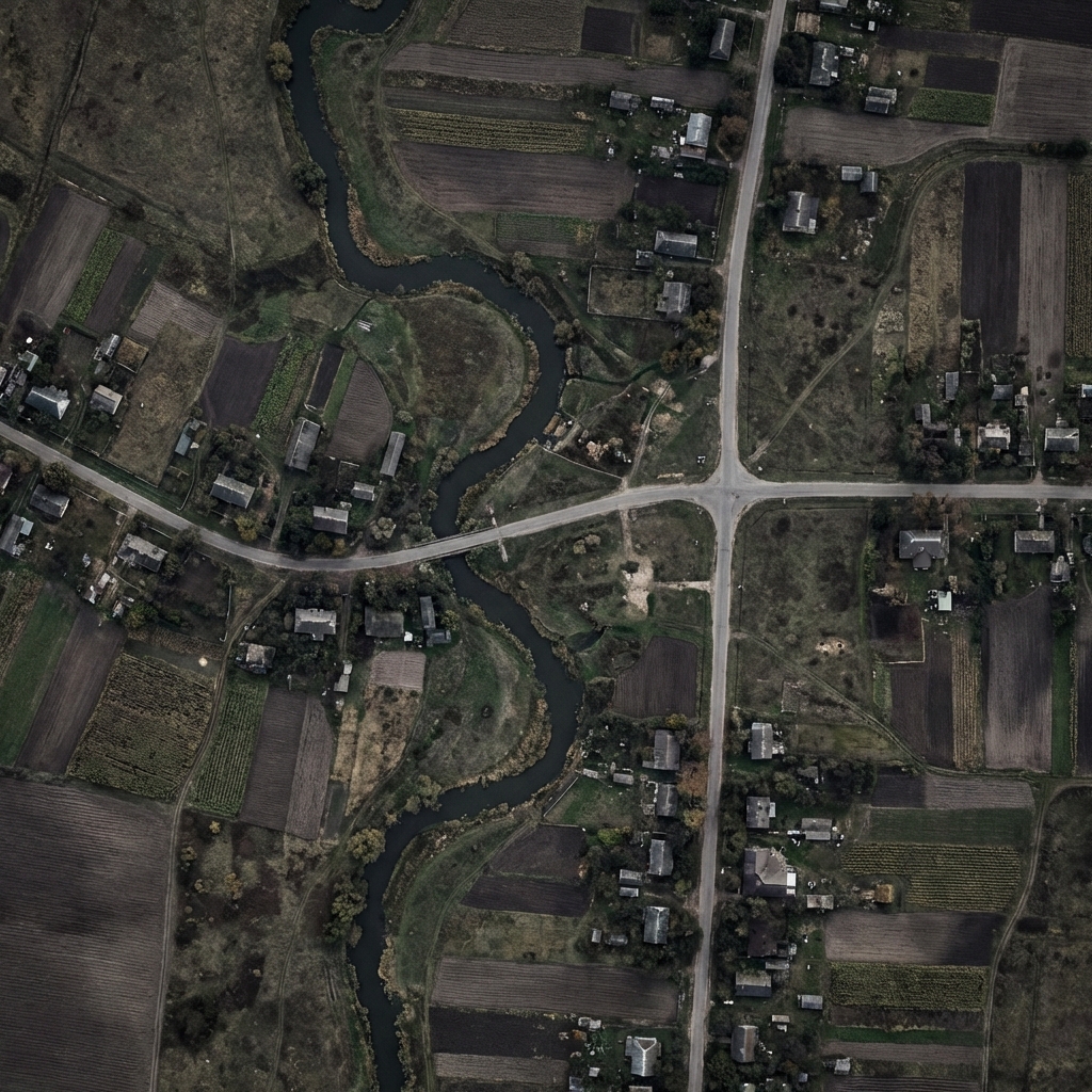 PRE-LOADED
PRE-LOADED RANSAC 230 / 247 48.85°N 37.59°E
DRONE CAMERA REC 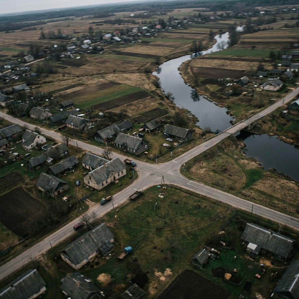 LIVE FEED
LIVE FEED 01
Feature Extraction
ORB/SIFT keypoints extracted from live camera frame and pre-loaded satellite image.
02
RANSAC Matching
Robust correspondence matching rejects outliers, computes homography from inliers.
03
Position Fix
Geo-rectified alignment yields precise UAV coordinates at 30fps — no GPS needed.